Our Contribution
EMAPS Technology “Sees” Where GPS Cannot
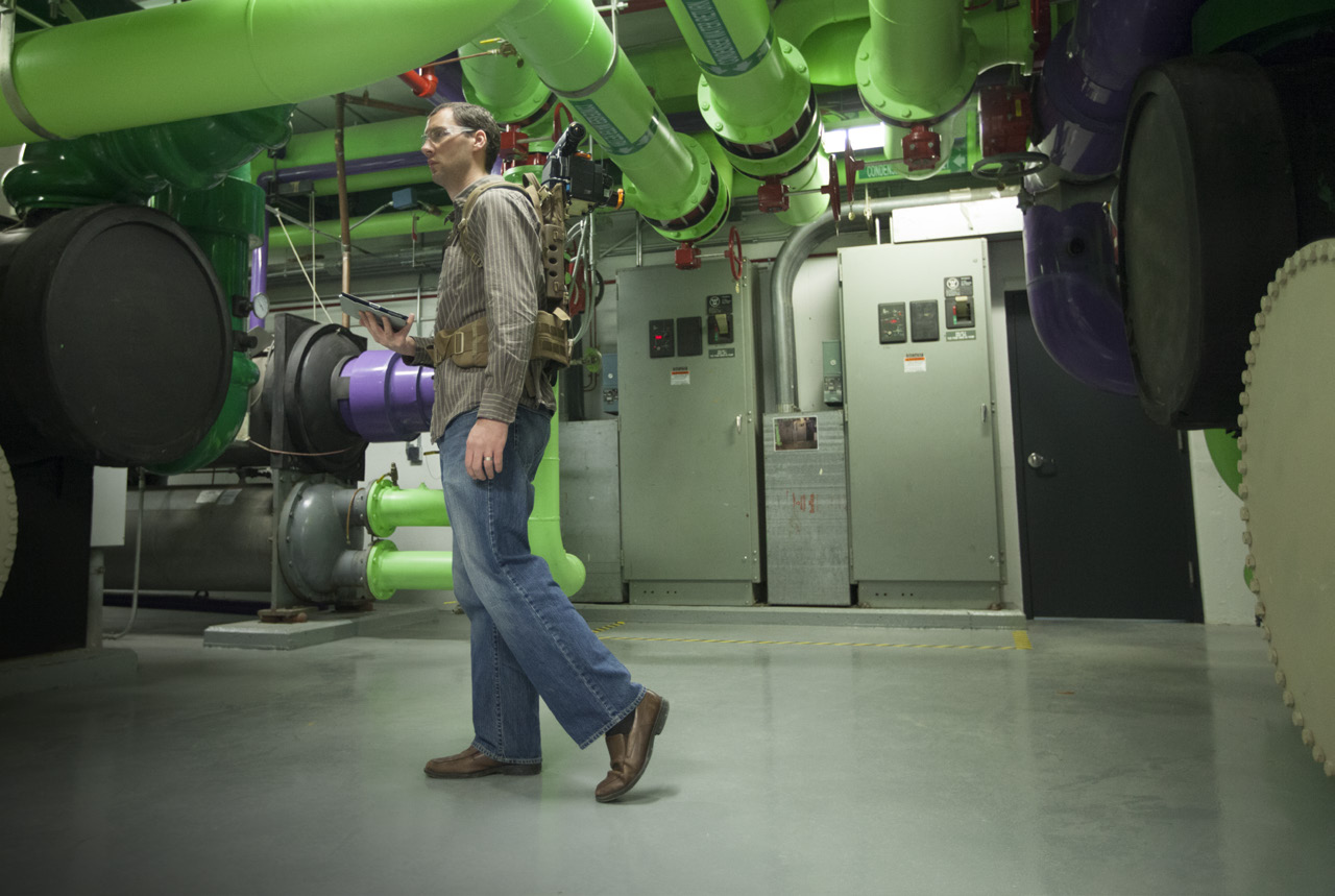
EMAPS, a portable mapping system carried in a backpack, was developed for the Department of Defense’s Chemical and Biological Defense Program. Using sensors and lasers, EMAPS creates annotated maps in spaces where GPS is not available, such as underground or on ships. EMAPS captures a floor plan of the area the user traverses as well as 360-degree photos; the system’s novel algorithms associate critical sensor data, such as radiation and radio frequency signal levels, with map locations. We incorporated high-performance light detection and ranging (LIDAR) to the system and upgraded the software to process this data into a coordinate system—substantially improving the operator’s ability to visualize GPS-denied spaces.